What if you could cut 15 minutes off your daily drive to base without giving up the home you want? When your orders bring you to Joint Base San Antonio, commute time becomes a quality-of-life issue fast. You want a smart plan that balances drive time, budget, and home style without wasting weekends crisscrossing the city. This guide gives you a clear, commute-first method to choose the right San Antonio neighborhood for Lackland, Fort Sam Houston, or Randolph. Let’s dive in.
How JBSA commutes shape your search
San Antonio’s bases sit in different parts of the metro and each one is shaped by a few key highways. Understanding those corridors helps you avoid surprise delays.
Base locations and main corridors
- JBSA–Lackland sits in the southwest quadrant just inside Loop 410. Most commuters feed in via Loop 410, I‑10 West, and west-side arterials like W. Military Drive and Zarzamora.
- JBSA–Fort Sam Houston is immediately northeast of downtown. I‑35, I‑10, US‑281, and Loop 410 connectors handle most of the flow.
- JBSA–Randolph is in Universal City on the northeast edge near Schertz and Cibolo. I‑35, Loop 1604 on the east side, and local frontage/FM roads serve the gates.
Congestion patterns to expect
- I‑35 through downtown is a common choke point during peak hours.
- Loop 410 interchanges can back up where local arterials merge.
- Peak windows typically run 6:30–9:00 AM and 3:30–6:30 PM. Shift changes can shift that window by corridor.
- Road projects create temporary slowdowns. Recheck conditions close to your move date.
A commute-first method that works
You can shrink your search from the whole metro to a focused list in a few steps.
Set your time targets
Pick three acceptable maximums for peak hours, like 20, 30, and 45 minutes. Use your true comfort limit for daily quality of life, then note your stretch options. Add 5–10 minutes for gate access and parking during busy periods.
Map drive-time isochrones
Use a map tool that shows typical traffic at commute times to draw 20, 30, and 45-minute polygons from the exact gate you will use. Isochrones beat simple distance because San Antonio’s highways are directional chokepoints. Run test directions during peak hours between candidate neighborhoods and your specific gate.
Choose your fastest corridors
Favor neighborhoods that feed directly onto your base’s primary routes. Fewer stoplights and turns usually means more reliable drive times.
- For Randolph, prioritize the I‑35 corridor northbound and Loop 1604 East.
- For Lackland, look along Loop 410 West/South and west-side arterials.
- For Fort Sam, proximity to I‑35, US‑281, and downtown arterials helps.
Filter by home and budget
Once you have your commute polygons, apply your housing filters. Compare price, bedrooms, lot size, and age of home. If you are active duty, compare estimated mortgage or rent to your current BAH for Bexar County and rank. If you plan to buy, consider how a VA loan can improve affordability and cash-to-close.
Test and validate your route
Drive your route during the same window you will use for work at least twice, one morning and one evening. If that is not possible, use typical-traffic features in your map app to simulate departures. Note variability from incidents, school pickup hours, and construction.
Final checks before you shortlist
- Confirm your gate hours, parking rules, and any vehicle registration requirements.
- Verify school district boundaries and any HOA rules that matter to you.
- Check for planned roadway projects that could add months of detours.
Neighborhood shortlists by base
Use these groupings to spark a focused shortlist, then validate with your isochrone method.
If you work at Lackland
You will get the most predictable drives from the southwest, west, and near‑west areas that plug into Loop 410.
- Faster commutes: Communities near the base and Westover Hills, plus adjacent west-side neighborhoods inside the southwest loop.
- Short to medium, about 20–30 minutes: Leon Valley and parts of the far West Side near Loop 410 West. Edges of Alamo Ranch can work when traffic is lighter.
- Longer, 30–45 minutes or more: Boerne, Helotes, and parts of the NW 1604 corridor when congestion picks up.
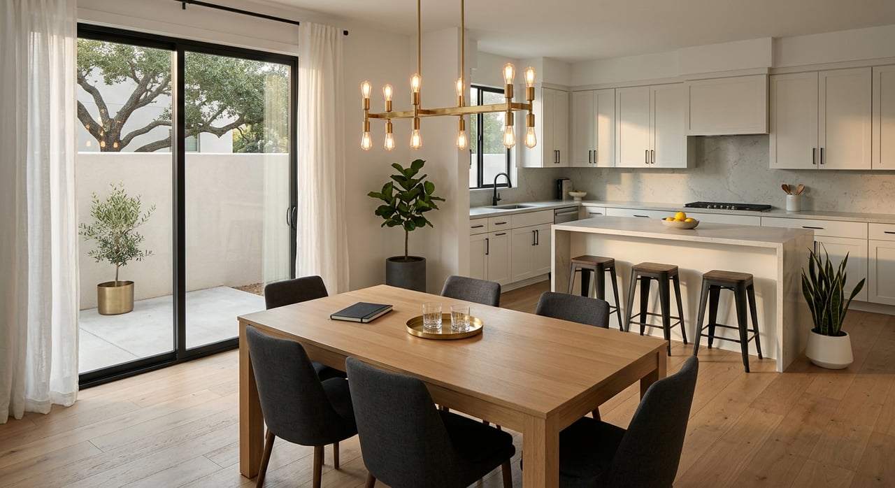
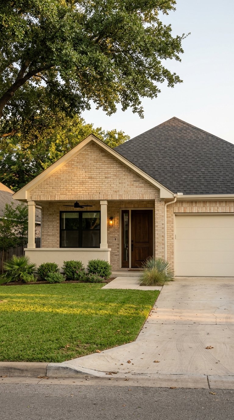
Housing near Lackland ranges from older ranch and military‑era suburban homes close-in to larger-lot suburban homes 20–30 minutes out, and newer master‑planned options farther west. School districts in the area include Northside ISD and Southwest ISD in certain pockets. Always confirm the specific street’s assignment.
If you work at Fort Sam Houston
Central and north‑central neighborhoods often win on drive time because you avoid long I‑35 or US‑281 stretches through downtown.
- Faster commutes: Neighborhoods near downtown such as Monte Vista, Tobin Hill, Alamo Heights, and Southtown can offer quick drives when traffic is light.
- Short to medium, about 20–30 minutes: Midtown, King William, and select near‑north and near‑east areas. Some North Central communities also fit.
- Longer, 30–45 minutes: Far north suburbs and outer loops where I‑35 and US‑281 congestion adds time through the core.
You will find historic bungalows and smaller multi‑family options closer in, older single‑family and infill condos 20–30 minutes out, and newer suburban homes farther north. School districts include Alamo Heights ISD, San Antonio ISD, and parts of Northside ISD. Use district tools to check each address.
If you work at Randolph
The northeast suburbs are built for short drives to the gates in Universal City.
- Faster commutes: Universal City, Schertz, Cibolo, Converse, and Selma are adjacent or very close, often under 20 minutes.
- Short to medium, about 20–30 minutes: NE San Antonio along I‑35, including Live Oak and Kirby. Parts of Stone Oak may work depending on traffic.
- Longer, 30–45 minutes: Downtown and the south side due to I‑35 congestion.
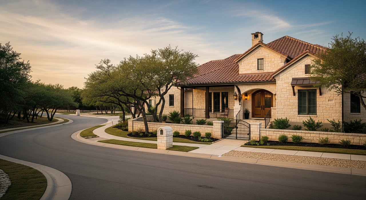
Close‑in NE suburbs offer newer tract homes and master‑planned developments with 3–4 bedrooms and community amenities. Farther into San Antonio you will see older suburban stock and infill options. School districts include Schertz‑Cibolo‑Universal City ISD around the base and parts of North East ISD and Northside ISD in the 20–30 minute ring.
Cost and lifestyle tradeoffs
Choosing by commute does not mean giving up lifestyle. It just means making deliberate tradeoffs.
- Inner city near Fort Sam: Shorter drives and historic character, but often smaller lots and higher price per square foot.
- Suburban north and northeast near Randolph: Newer homes, larger yards, and amenities, but longer drives to Fort Sam or Lackland.
- Southwest and west near Lackland: Good value for square footage with a mix of older ranch homes and newer subdivisions.
Think beyond time to total commute cost. Longer or stop‑and‑go drives add fuel and vehicle wear. San Antonio has few toll routes inside the core, and outlying tolls are usually optional. On base, arriving earlier can reduce gate and parking delays.
For families, align school needs with your commute isochrone. If school schedules control your departure, test drives during pickup and after‑school windows. That is when some arterials run slower than morning commute models suggest.
Practical tools and who to call
- JBSA installation pages and the base housing office provide gate hours, access rules, and on‑base housing guidance.
- Alamo Area Metropolitan Planning Organization shares traffic studies and long‑range projects that can change future drive times.
- TxDOT San Antonio district posts construction updates and traffic advisories you can track during your search.
- VIA Metropolitan Transit can help you assess if Park & Ride or bus service fits your schedule.
- The official DoD BAH lookup tool shows current allowance figures for Bexar County by rank.
- Local MLS search portals help you verify current pricing and inventory; cross‑reference to get a fuller picture.
- School boundary lookups from TEA and local ISDs help you confirm street‑level assignments.
- Real‑time traffic apps like Google Maps and Waze show typical traffic and incidents.
Make your shortlist in one weekend
Here is a simple plan to move from idea to action fast.
- Identify the exact gate you will use at Lackland, Fort Sam, or Randolph.
- Draw 20, 30, and 45‑minute isochrones from that gate using typical traffic at your shift time.
- Pick two to three corridors that feed directly onto your base’s main highways.
- Filter listings inside your polygons by price, bedrooms, HOA, and housing style.
- Run two test commutes on different days at your actual departure times. Record the range.
- Confirm gate hours, parking, and any registration needs before you schedule tours.
- Call the JBSA housing office to ask about on‑base waitlists and any shuttle options.
When you want a second set of eyes, a local, veteran‑led agent can help you weigh commute time against home value and long‑term wealth goals. If you also plan to rent out your home later, build that into your search now so the property works for both PCS life and future income.
Ready to map your commute and build a confident shortlist? Connect with Scott Alexander for a free, commute‑focused consultation and a tailored set of neighborhoods for your base and budget.
FAQs
Which neighborhoods keep my Lackland commute under 20 minutes?
- Look in the southwest and near‑west areas close to Loop 410, including adjacent west‑side communities and parts of Westover Hills; validate with peak‑hour drive tests to your gate.
Where should I live for a short drive to Fort Sam?
- Central and north‑central neighborhoods such as Monte Vista, Tobin Hill, Alamo Heights, and select Midtown areas often offer shorter drives, depending on peak traffic.
What areas are best for a quick Randolph commute?
- Universal City, Schertz, Cibolo, Converse, and Selma are adjacent to the base and commonly deliver 10–20 minute drives in typical conditions.
How much time should I add for gate access and parking?
- Plan for an extra 5–10 minutes during busy periods, and arrive earlier if you want to avoid backups near popular facilities.
Is public transit realistic for JBSA commutes?
- VIA Metropolitan Transit offers bus and Park & Ride options on select corridors; check routes and schedules against your shift time to confirm fit.
How do I use BAH and a VA loan in my decision?
- Compare estimated rent or mortgage to your current BAH for Bexar County and rank, then explore VA financing to improve affordability and keep cash reserves for PCS needs.
How can I test commute reliability before I sign a lease?
- Drive the route during your actual morning and evening windows on two separate days, or use typical‑traffic features in your map app to simulate departures and compare ranges.